Articles & Resources
Looking for information from Deschutes County on land use hearings?
Search for Blogs & Articles
Water
With strong community support, LandWatch and Advocates for the West team up to defend Central Oregon’s waters, wildlife, and public lands.
Oregon’s 2025 legislative session is heading into its final weeks, and LandWatch is proud to report that it’s shaping up to be a good year for us in Salem.
On May 7, 2025, Thornburgh’s troubled attempt to revise its Fish and Wildlife Mitigation Plan will come before the Deschutes County Board of Commissioners again.
In the first month of the new administration, environmental advocates have faced a maelstrom of threats to the foundations of environmental protection and community well-being.
At LandWatch, we are determined to stay focused on the positive changes we can affect. We are here to defend the land and water of Central Oregon and ensure a livable future for all its residents — and we won’t settle for anything less.
Today, the National Marine Fisheries Service’s “non-essential experimental population” (NEP) designation for Upper Deschutes Basin steelhead expires — meaning all steelhead above the Pelton Round Butte dams are now officially listed as threatened under the Endangered Species Act (ESA).
Join us as we delve into the intersectional intricacies of the United States’ most famous wildlife conservation law and Central Oregon’s prevailing framework for (theoretically) balancing the needs of water users and threatened species to better understand a path toward meaningful steelhead habitat restoration and population recovery in the Upper Deschutes Basin.
Responses to our joint survey of Central Oregon Irrigation District patrons clearly show that local irrigators are eager to improve irrigation system efficiencies and reduce water waste.
As climate change and drought continue to place pressure on water resources in Central Oregon, an integrated approach to solving water scarcity issues is needed; a concerted effort to pipe private laterals must be part of the solution.
In less than a century, the impacts of irrigation, hydropower projects, and other human activities throughout the Deschutes Basin have disrupted the natural water systems and environmental conditions that sustained abundant steelhead populations for millennia.
In order to take steps toward habitat recovery, it is important to understand how we’ve fundamentally changed these waterways.
To meet existing and future water needs, the Basin’s senior irrigation districts need to ramp up financial incentive programs to conserve more water, in concert with the piping of private laterals.
The steelhead trout is one of the Pacific Northwest’s most iconic species of fish.
In this series, we’re exploring the history of steelhead in the Deschutes Basin, the impacts irrigation and development have had on this species and their habitat, the actions water managers and regulators are proposing to address threats to this species, and whether they go far enough to restore the critical habitat this iconic species needs and deserves.
Addressing water shortages in the Deschutes Basin requires a comprehensive Water Management Plan that integrates infrastructure improvements and market-based incentives to efficiently allocate water for both agricultural and environmental needs.
The Deschutes Basin Water Collaborative, through the state’s Place-Based Planning process, is developing this plan to ensure balanced water distribution and overcome existing systemic issues, emphasizing the need for immediate and coordinated action.
Most of the Deschutes River Basin’s water is used for irrigation and waste happens at every step in the process. It is time for irrigation districts to step up and truly embrace reform at the local level.
What do we want Deschutes County to look like in 20 years? The County is asking for your input on its draft update to the Comprehensive Plan.
It’s clear there is an appetite amongst irrigators for solutions to wasteful irrigation practices, improved irrigation infrastructure, and policy reform to allow easier reallocation of water to those who need it the most.
It is time to focus on solutions to water waste to ensure that both our frogs and our farmers get the water they need - and time is of the essence as climate change tightens its grip.
Take the survey by June 15th and help shape a water strategy that prioritizes stronger protections for instream flows and improved management of groundwater.
What’s in the Oregon Spotted Frog Recovery Plan? We need more from the draft plan. Take action by May 1 and ask U.S. Fish and Wildlife for specific and tangible conservation actions.
It doesn’t take an expert to see the growing conflict over the scarcity of water supplies in Central Oregon, intensified by drought and the impacts of climate change. But the Oregon spotted frog is not to blame for our water woes, nor are the farmers whose livelihood depends on water for crops.
Earlier this month, Oregon Senators Ron Wyden and Jeff Merkley announced an updated version of the River Democracy Act.
OWRD recognizes there is an issue with over-allocation of groundwater resources. Right now, they are seeking our input on how to move forward and shape a groundwater permitting system that supports the quality of our aquifers while also serving the senior water rights holders and current domestic well uses in each basin.
This past year, Central Oregon saw the launch of the Deschutes Water Bank Pilot Program. This program is an innovative, voluntary, and market-based solution to addressing water shortages in the Deschutes Basin.
Central Oregon recently made national headlines when The Washington Post hailed local water infrastructure projects as “the future of the American West.” Indeed, improving the efficiency of our century-old water infrastructure is key to ushering in a modern era of water management–but it’s far from a panacea.
Right now, Oregon has the chance to designate the Metolius River as an Outstanding Resource Water.
Oregon has the most miles of “impaired” waterways nationwide according to a recent report from The Environmental Integrity Project.
This needs to be our last season of water scarcity. It’s time for reform. First, Oregon needs to modify how “beneficial use” of water is defined, monitored, and regulated to realign water priorities to meet 21st-century needs.
Groundwater in Central Oregon is declining. But it should be an infinite resource. What’s really going on?
At the places where rivers begin and end, we find the ephemeral streams and tributaries that connect a diverse network of waterways.
The ongoing drought remains at the forefront of our minds as summer draws to a close. Isn’t it time to work together to change our water policies and eliminate wasteful practices? We all stand to benefit.
The Deschutes was once a very stable river. Before Wickiup Dam was completed in 1949, the Deschutes River exhibited very consistent seasonal flows. It’s common for most rivers to experience high flows with the onset of spring rains and melting snow and very low flows by the end of the summer.
During this time of year, you can visit the Deschutes twice on the same day and see two very different rivers. On Saturday, May 1, we took a trip to Benham Falls and caught the river just south of Bend.
Wildlife
The Trump administration has announced its plans to rescind the Roadless Area Conservation Rule. Check out our primer to come up to speed on the importance of the Roadless Rule, learn what can be expected next, and find out how you can plug in to defend public lands in Central Oregon and beyond from this new threat.
The USFS’ final decision on the Green Ridge project may represent incremental progress toward more meaningfully prioritizing wildlife habitat on the Deschutes National Forest.
Oregon’s 2025 legislative session is heading into its final weeks, and LandWatch is proud to report that it’s shaping up to be a good year for us in Salem.
On May 7, 2025, Thornburgh’s troubled attempt to revise its Fish and Wildlife Mitigation Plan will come before the Deschutes County Board of Commissioners again.
Jeremy Orr, Director of Litigation and Advocacy Partnerships at Earthjustice from Earthjustice, and attorneys from Crag Law Center and Advocates for the West will join Central Oregon LandWatch to examine the Trump administration’s motivations with regard to national forest management and explain how the environmental justice community is pushing back against questionable, dangerous or illegal moves.
LandWatch’s new Livable Future Forum will provide a place for discussion and dialogue about the key environmental issues of our time and the solutions that we can put into place locally. On Oct 3, 2024, we will talk about the factors leading to local mule deer population decline and the critically-needed solutions available to help them.
Creating wildlife crossings is a practical, cost-effective move that is also an act of empathy that insists that animals have a right to safety, just as we humans do.
Central Oregon’s rural lands offer iconic scenic vistas, sustain complex high desert ecosystems, and enable a thriving regional agricultural economy.
Listen to some familiar melodies. While simply beautiful to our ears, birdsong has a variety of important and complex functions in communication among different species of birds.
On January 24, the Oregon Court of Appeals affirmed LandWatch’s and co-petitioners’ win at the Land Use Board of Appeals (LUBA) concerning Deschutes County’s attempt to rezone 710 acres of farmland for sprawling luxury development.
LandWatch prevailed at Oregon’s Land Use Board of Appeal in appeals of Deschutes County’s decision to approve Thornburgh Resort’s Fish and Wildlife Mitigation Plan (FWMP).
What do we want Deschutes County to look like in 20 years? The County is asking for your input on its draft update to the Comprehensive Plan.
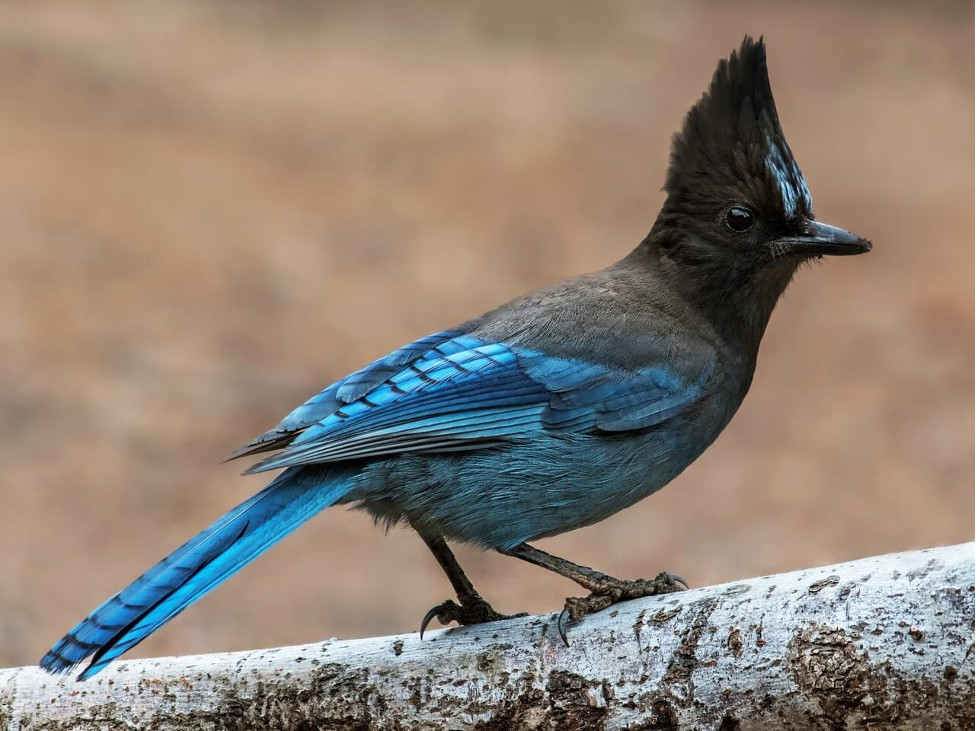
Jays are strikingly beautiful birds with plumage in various shades of blue: azure, cerulean, cobalt, sapphire, and slate
The population on the Bull Flat wildlife area is important not only because it is rare but also because it has been extensively studied over several decades.
Springtime frog song reminds us of the ubiquity of these otherwise shy amphibians, even here in the high desert of Central Oregon.
Did you know that Oregon has the highest likelihood of wildlife crashes among west coast states? There’s a bill that would change that. Help us get the Wildlife Crossings Investment Act over the finish line!
Respecting seasonal road closures protects important habitat that helps Central Oregon’s mule deer population survive the winter.
Two recently released forest service project plans have caught our eye. The Green Ridge Project and the Klone Management Project both seek to weaken protections for mule deer habitat by reducing deer hiding coverage below 30%.
The most significant barrier to mule deer movement across the landscape is highways. However, Wildlife crossings, in the form of highway underpasses and overpasses, have been shown to be highly effective in reducing the wildlife/vehicle collisions that are a major source of mule deer mortality.
Listen to Dirty Freehub's recent podcast episode to hear more about LandWatch's work in the Ochocos. In this episode, Rory Isbell discusses the importance of migration corridors and riparian areas for Redband Trout and elk, along with our recent victory to protect wildlife habitat in the Ochoco National Forest.
Take action today! Healthy habitats are homes for wildlife. As Deschutes County grows, a growing population, increased recreation activity, and development are putting wildlife under pressure.
No more excuses. It’s time for the County to require Thornburgh Resort to make good on its promises to mitigate for its effects on fish and wildlife.
For 50 years, Oregon’s statewide land use system, envied and emulated nationally and internationally, has provided for planned and relatively sustainable patterns of development balanced by prudent restraint.
There is probably no species of wildlife more iconic of Central Oregon than mule deer (Odocoileus hemionus). Their elegant adaptations to the arid ecoregions east of the Cascades and their seeming ubiquity across both rural landscapes and urban areas give us the impression of an abundant population. But long-term studies show significant declines in regional mule deer herds. Protecting their winter range is one of the most effective measures we can take to slow and reverse this decline.
Wildfire has always had a place in the fire-adapted ecosystems of Central Oregon’s arid forest, scrub steppe, and grassland.
Highways present formidable barriers to wildlife movement. Thousands of deer and elk are hit by vehicles and injured or killed every year in Oregon; these wildlife-vehicle collisions also result of course in human injury, loss of life, and many thousands of dollars in property damage.
The beloved Ochoco National Forest and its precious habitat for elk, wolves, native fish and other species is once again threatened. Just over one year after Central Oregon LandWatch’s coalition victory in federal court to protect the area, the “Black Mountain” project proposes 22 miles of new roads and damage to riparian habitat without sufficient regard for the species that would be impacted.
We worked closely with and directly supported the efforts of the community movement 30/30 for the Deschutes to advocate for a healthy river. Overall, the U.S. Fish & Wildlife Service received more than 1,700 comments from the public asking them to assure that an improved plan for the Deschutes River is developed!
For decades LandWatch has fought efforts by developers to build homes on Skyline’s private timberland, and for decades the working forest has balanced timber production with recreational and ecological values. But now that balance is under threat as the forest has been placed on the market for $127 million.
Wild Lands
An initial analysis by the Center for Western Priorities found that opposition to dropping safeguards for Roadless Areas was nearly unanimous, with 99.2 percent of comments supporting keeping Roadless protections in place.
The Trump administration has announced its plans to rescind the Roadless Area Conservation Rule. Check out our primer to come up to speed on the importance of the Roadless Rule, learn what can be expected next, and find out how you can plug in to defend public lands in Central Oregon and beyond from this new threat.
With strong community support, LandWatch and Advocates for the West team up to defend Central Oregon’s waters, wildlife, and public lands.
The USFS’ final decision on the Green Ridge project may represent incremental progress toward more meaningfully prioritizing wildlife habitat on the Deschutes National Forest.
Oregon’s 2025 legislative session is heading into its final weeks, and LandWatch is proud to report that it’s shaping up to be a good year for us in Salem.
The combined effects of a warmer and drier climate, more people living in fire-prone areas and vegetation and debris built up over years of fire suppression are leading to more severe fires that spread faster and put people, wild lands and economies at risk. Prescribed burns are a solution, but the U.S. Forest Service need the staffing, data and research to carry them out.
Wildfire is essential in our landscape, and an expected element of living, working, and playing in Central Oregon. As we plan for the future, we must learn to coexist with fire.
Jeremy Orr, Director of Litigation and Advocacy Partnerships at Earthjustice from Earthjustice, and attorneys from Crag Law Center and Advocates for the West will join Central Oregon LandWatch to examine the Trump administration’s motivations with regard to national forest management and explain how the environmental justice community is pushing back against questionable, dangerous or illegal moves.
In the first month of the new administration, environmental advocates have faced a maelstrom of threats to the foundations of environmental protection and community well-being.
At LandWatch, we are determined to stay focused on the positive changes we can affect. We are here to defend the land and water of Central Oregon and ensure a livable future for all its residents — and we won’t settle for anything less.
LandWatch’s new Livable Future Forum will provide a place for discussion and dialogue about the key environmental issues of our time and the solutions that we can put into place locally. On Oct 3, 2024, we will talk about the factors leading to local mule deer population decline and the critically-needed solutions available to help them.
In August, the U.S. Forest Service issued its final decision regarding an important timber sale on the Ochoco National Forest — and we’re pleased to report that the Forest Service ultimately made significant improvements to the Mill Creek project, providing meaningful safeguards for forest ecosystems and the wildlife that depend upon them.
LandWatch and partners across the country are calling on the Forest Service to strengthen protections for the United States’ remaining old-growth and mature forests.
Join us by adding your name to our petition today!
Creating wildlife crossings is a practical, cost-effective move that is also an act of empathy that insists that animals have a right to safety, just as we humans do.
On March 29, essential protections for large trees in eastern Oregon and eastern Washington were fully reinstated!
This past fall, we were concerned to see a series of projects proposing large tree logging across a total of 73,000 acres on the Ochoco National Forest.
What do we want Deschutes County to look like in 20 years? The County is asking for your input on its draft update to the Comprehensive Plan.
On August 31, a federal judge made a sweeping recommendation to set aside an illegal Forest Service rule change made under the Trump administration.
Today, a federal judge made a sweeping recommendation to set aside an illegal Forest Service change to the Eastside Screens - a longstanding set of rules to protect old growth on six national forests in Eastern Oregon and Washington.
Will the Forest Service choose to be a dedicated partner on wildlife crossing projects in Central Oregon?
Reducing hiding cover to 13% in migration corridors is a drastic loss of habitat. This is only a fraction of the necessary forest cover mule deer need to survive.
We’ve been monitoring the Green Ridge Project proposed by the Forest Service since 2017. This project involves thinning and logging on nearly 25,000 acres of national forest just north of Sisters in the Metolius Watershed.
The Cougar Rock Project is a proposed project located near Black Butte on the Deschutes National Forest that proposes to conduct “thinning, mowings, and prescribed burning” on around 3,000 acres, primarily within mule deer winter range.
After nearly a year, oral argument was held before Magistrate Judge Halmann on May 1. We were represented by Crag Law Center at the U.S District Court in Pendleton, challenging the Forest Service’s unlawful repeal of the “21-inch rule” that opened up over 7 million acres of national forest to large-tree logging.
Environmental groups, including LandWatch, delivered more than 122,000 public comments urging the U.S. Department of Agriculture (USDA) and the U.S. Department of the Interior (DOI) to protect mature and old-growth forests and trees on federal public lands from logging as a cornerstone of U.S. climate policy.
Forests pull carbon out of the atmosphere, and it accumulates in living trees and soil. In this way, mature forests act as carbon sinks, where the world’s forests absorb a net 7.6 billion metric tonnes of CO2 per year. Let the Forest Service and Bureau of Land Management know large trees are worth more standing.
Determined to protect Oregon’s biggest trees east of the Cascades, LandWatch and five other environmental organizations filed a lawsuit against the Forest Service over its decision to allow logging of large and old trees in national forests across Central and Eastern Oregon.
For immediate release. Determined to save Oregon’s biggest trees that remain, LandWatch and five other environmental organizations filed a lawsuit against the Forest Service over its decision to allow logging of large and old trees on national forests across Central and Eastern Oregon.
What's happening behind the scenes? This week, we've got a series of on-the-ground updates for Central Oregon.
If left to age, the mature, large trees in Oregon’s eastern forests can play a big role in combating climate change. In a study on national forest land in Oregon’s forests east of the Cascade Range, large-diameter trees accounted for only 3% of trees but stored 42% of the total above-ground carbon.
What happened along Phil’s trail should never happen again in Oregon’s national forests. Despite the public outcry and demands to leave these big trees standing, the marked trees were logged last week. Like you, we are devastated by this news.
Farms & Rural Lands
Either voluntarily or by enforcement, we call on Deschutes County to honor that covenant by ending its practice of spot zoning.
Originally published as a Guest Column in the Bend Bulletin on 08/27/2025.
LandWatch’s Rural Lands team recently won a case challenging Deschutes County’s decision to rezone 65 acres of irrigated farmland before Oregon’s Land Use Board of Appeals (LUBA).
Recently, we saw a fiery online debate about farm stands, agritourism, and DLCD Farm Stand rulemaking process. If you witnessed or participated in the recent dialogue but had a nagging feeling that you weren’t being told the whole story, this blog post is for you.
Oregon’s 2025 legislative session is heading into its final weeks, and LandWatch is proud to report that it’s shaping up to be a good year for us in Salem.
Wildfire is essential in our landscape, and an expected element of living, working, and playing in Central Oregon. As we plan for the future, we must learn to coexist with fire.
On May 7, 2025, Thornburgh’s troubled attempt to revise its Fish and Wildlife Mitigation Plan will come before the Deschutes County Board of Commissioners again.
When a data center came knocking, Christmas Valley farmers weren’t interested. Read on for the backstory on a significant win for Christmas Valley and Lake County, and an update on an ongoing challenge to preserve agricultural land in Jefferson County.
In the first month of the new administration, environmental advocates have faced a maelstrom of threats to the foundations of environmental protection and community well-being.
At LandWatch, we are determined to stay focused on the positive changes we can affect. We are here to defend the land and water of Central Oregon and ensure a livable future for all its residents — and we won’t settle for anything less.
Oregon’s land use planning system is hailed as a model for preserving its unique agricultural and forest landscapes while fostering sustainable growth.
Despite this, a troubling trend has emerged in recent years: spot zoning of farm and forest lands.
LandWatch and partners across the country are calling on the Forest Service to strengthen protections for the United States’ remaining old-growth and mature forests.
Join us by adding your name to our petition today!
Skyline Forest
On a brisk and beautiful morning, we delivered the Save Skyline Forest Community Letter to our elected officials.
We’ve compiled a list of frequently asked questions and answers about Skyline Forest and the community campaign to conserve it.
The population on the Bull Flat wildlife area is important not only because it is rare but also because it has been extensively studied over several decades.
So many folks have stepped up to help Save Skyline Forest! Here is what you can do right now to take this effort to the next level: Take the Skyline Forest Community Survey
Skyline Forest and Bend share a border within the wildland-urban interface (WUI) that is essential for managing wildfire risk to our communities.
Respecting seasonal road closures protects important habitat that helps Central Oregon’s mule deer population survive the winter.
If you’re a Central Oregonian, chances are you are well-acquainted with Skyline Forest. But did you know that it’s not federally protected public land?
For decades LandWatch has fought efforts by developers to build homes on Skyline’s private timberland, and for decades the working forest has balanced timber production with recreational and ecological values. But now that balance is under threat as the forest has been placed on the market for $127 million.
Cities & Towns
Bend
LandWatch is advocating for a data-driven approach that ensures Bend’s new tree code continues to support both streamlined housing development and the health of our urban forest.
Bend has advanced to the Final Four in the national Strongest Town Contest—an exciting recognition of the work being done to create a more sustainable, resilient, and livable city.
Your vote can help propel Bend to the championship!
There are many ways to contribute to your community as an individual, with a group, or through local government. There are larger commitments, as well as simple actions, formal and informal, and all of it adds up to a more Complete Communities in this place we call home. So, how might you act locally? We’ve compiled a list of ideas!
Rapid growth presents us with a challenge and an opportunity: to grow well and with intention so that our communities are more vibrant, affordable, inclusive, and climate-resilient. So let’s take a look at what we can do to act locally for our climate and community.
The future of Bend is happening now.
The City of Bend is beginning work that will guide our community’s growth now and for the next 20 to 50 years. LandWatch’s Cities & Towns team is and will be deeply involved with these efforts on the path ahead—and we’ll make sure our community knows the best times to make their voices heard along the way.
Here are some exciting updates about how we’re helping make Complete Communities happen in our community, right now.
After years of sustained advocacy, improvements to the Midtown crossings are coming - and soon!
LCDC unanimously adopts new rules that will guide future development in Oregon’s largest urban areas.
If you want to help make our communities safer, healthier, and more pedestrian-friendly, this is a pivotal moment to make your voice heard.
There is a housing shortage across the country, driving up costs and limiting available housing options for residents in cities and towns nationwide. Bend is no exception. HB 2001 requires most cities in Oregon, including Bend, to allow more middle housing options within city limits.
We’ve got a community vision for Hawthorne Avenue and connecting the Bend Central District to downtown. Together, we can make this vision come to life. Learn more about the Hawthorne Bridge and find out how you can support the project.
We’ve been taught to reduce, reuse, and recycle, but to grow sustainably, we also need to reimagine to grow sustainably. Getting a new plastic bag every time you go to the grocery store wastes plastic, so we try to reduce waste by reusing sturdy bags we already have. The same principle applies to the land beneath us.
As cities and towns across Central Oregon grow, we need infrastructure to accommodate that growth without compromising livability.
On Wednesday, March 17th, the Bend City Council adopted six goals with promising strategies to achieve them.
Your voice was heard loud and clear! Last month, we asked you to help us weigh in on the Bend City Council’s goals for the next two years.
Things are moving quickly with the City of Bend's Core Area planning process, which aims to create an Urban Renewal District in the Bend Central District and surrounding areas by August of this year.
The City of Bend is in the process of determining what projects would be funded through a potential transportation bond measure, and they are proposing to slash funding for Midtown Pedestrian Crossings in half from the initial recommendation.
Honey I Shrunk the BCD drew hundreds of neighbors, business owners, developers and community leaders to reimagine the Bend Central District together in a fun and exciting setting last week!
The Transportation System Plan (TSP) Steering Committee will review the first draft of Bend's new TSP at their meeting on Thursday. The TSP will be the guiding document for transportation in Bend over the next 20 years. Any new transportation projects built in the City over the next 20 years, including transit, bike lanes, sidewalks, and road projects will be included in this plan. Learn more here.
he BCD Initiative advocates for a safe, inclusive, and community-oriented transformation in the Bend Central District. We aren't just here to talk about the community vision - we want to show you how public investment has catalyzed real changes in other cities around Oregon.
For more than a decade, Central Oregon LandWatch has been concerned about the risk of catastrophic wildfire in the forested area next to the west side of Bend. Most of this land would have been developed at urban levels had it come in with the City of Bend’s 2009 Urban Growth Boundary proposal to expand the city by more than 8,400 acres. Instead, our advocacy helped reduce the approved expansion by 70% by increasing densities inside the existing city boundaries.
The City of Bend has completed Phase 1 of its Transportation System Planning (TSP) process. Phase 1 identified a Citywide Transportation Framework, which includes projects and programs that principally affect the City’s arterial and collector system and transportation patterns in the City as a whole. The Citywide Transportation Framework will serve as the basis for Phases 2 and 3 of Bend’s Transportation Plan.
As the City of Bend moves forward with its “Core Area" Planning, we are preparing for the next steps in engaging the community to advocate for a vibrant, healthy, and resilient mixed-use neighborhood through the BCD Initiative
Central Oregon LandWatch received a $100,000 grant from Meyer Memorial Trust to continue work on the BCD Initiative, which is building broad support for policies and programs that promote the community’s vision for a vibrant, healthy, and resilient mixed-use neighborhood in the Bend Central District.
The City of Bend is proposing changes to its Comprehensive Plan that would allow more density in the Residential Standard Zone (RS) by permitting duplexes and triplexes (referred to as "plexes") on smaller lots.
Thanks in large part to our advocacy, the Westside Transect is a new concept for Central Oregon that is being used to plan development on Bend’s western edge where we are at most risk of wildfire sweeping into town from the Cascade Mountain forests.
As development pressures grow in high-risk areas, we must consider every new development in the WUI carefully. Smart planning that takes wildfire risk into account will help avoid unnecessary loss of life and homes, risk to our health, and endangerment of firefighters.
We gave Bend's Millennial leaders the chance to design their ideal version of NE Hawthorne Ave at the Bend Chamber's first ever Young Professionals Summit.
As people continue to move here, the Bend Central District is our best hope for Central Oregon to grow into a place we want to keep calling home.
The City of Bend is requesting public input as they plan their next Transportation System Plan. The Plan will be the guiding document for transportation in Bend over the next 20 years.
Sisters, Redmond, and Beyond
The City of Sisters and its residents have been hard at work planning to accommodate a 20-year supply of needed housing and employment lands.
Five UGB concept alternatives will be discussed at a Dec 9 Open House. Thanks to their thoughtful approach, the City is poised to preserve the attributes that make Sisters the distinctive town it is today.
The City of Sisters is gathering community input on two important projects that guide potential development and zoning changes – changes that will help determine what this community looks like for generations.
The City has released its completed draft of its “Update.” This document is the result of the City’s process over the past year – including public comment from the various Open Houses, committee feedback, and other forms of public input.
Maps, as promised! Thanks for joining Central Oregon LandWatch on Tuesday for Mapping Sisters’ Future.
How will this beloved town choose to grow? The City of Sisters recently launched its Comprehensive Plan Update, which will shape how the beloved town develops through 2040 and beyond.
Wildfire & Climate
Wildfire is essential in our landscape, and an expected element of living, working, and playing in Central Oregon. As we plan for the future, we must learn to coexist with fire.
We’re kicking off Earth Month by sharing a selection of resources designed to inspire practical climate action — personalized for you. We hope these tools help you feel empowered to see yourself and your community as a tangible driver of climate solutions.
What do we want Deschutes County to look like in 20 years? The County is asking for your input on its draft update to the Comprehensive Plan.
On August 31, a federal judge made a sweeping recommendation to set aside an illegal Forest Service rule change made under the Trump administration.
Earlier this month, Oregon Senators Ron Wyden and Jeff Merkley announced an updated version of the River Democracy Act.
On a brisk and beautiful morning, we delivered the Save Skyline Forest Community Letter to our elected officials.
We’ve compiled a list of frequently asked questions and answers about Skyline Forest and the community campaign to conserve it.
Last year, Oregon legislators passed a comprehensive bill (SB 762) to address wildfire preparedness and resiliency across the state. Share what changes you want to see locally to minimize wildfire risk for Central Oregonians.
Environmental groups, including LandWatch, delivered more than 122,000 public comments urging the U.S. Department of Agriculture (USDA) and the U.S. Department of the Interior (DOI) to protect mature and old-growth forests and trees on federal public lands from logging as a cornerstone of U.S. climate policy.
Forests pull carbon out of the atmosphere, and it accumulates in living trees and soil. In this way, mature forests act as carbon sinks, where the world’s forests absorb a net 7.6 billion metric tonnes of CO2 per year. Let the Forest Service and Bureau of Land Management know large trees are worth more standing.
Case Updates
Recently, LandWatch prevailed in a community effort to halt yet another instance of development interests seeking to convert agricultural land into rural sprawl.
A win at the Land Use Board of Appeals! Stopping industrial sprawl between Bend and Redmond.
On March 23, the Deschutes County Planning Commission voted 3 to 1 in favor of recommending approval of Central Oregon LandWatch’s application to amend the county’s zoning code to limit new destination resort development.
LandWatch recently celebrated a win at the Oregon Land Use Board of Appeals (LUBA). In February, LUBA ruled in LandWatch’s favor regarding a decades-old facility on land outside Sisters. This win sets an important precedent by invalidating a misinterpretation of state and local land use law and will help prevent fragmentation of the agricultural land base in Deschutes County.
LandWatch recently reached a settlement with an applicant seeking a permit from Deschutes County to operate a commercial events center in conjunction with a honey production and processing facility on farmland.
We filed an appeal to the Oregon Land Use Board of Appeals over 142 acres in Jefferson County.
On January 4, Central Oregon LandWatch filed a Notice of Intent to Appeal the Deschutes County Board of County Commissioners’ (BOCC) decision to remove agricultural land protections on 710 acres near Terrebonne.
On August 17, Deschutes County Commissioners will determine the fate of 710 acres in the Lower Bridge Valley near Terrebonne.
On August 17, Deschutes County Commissioners will determine the fate of 710 acres in the Lower Bridge Valley near Terrebonne.
After nearly five years of ongoing appeals, we are happy to announce a victory for farmland in Jefferson County! Last month, the Jefferson County Planning Commission denied an application for development on agricultural land just south of Madras.
Early this spring, LandWatch testified in opposition to a proposal to remove agricultural land protections on 710 acres near Terrebonne, to rezone the property for rural residential development. We took a stand alongside neighboring farmers and ranchers to protect this area for farm use. Here is the update.
Determined to protect Oregon’s biggest trees east of the Cascades, LandWatch and five other environmental organizations filed a lawsuit against the Forest Service over its decision to allow logging of large and old trees in national forests across Central and Eastern Oregon.
On April 19, 2022, Central Oregon LandWatch filed an appeal to the Deschutes County Board of Commissioners (BOCC) over an application related to a proposed sewer project in Tumalo.
An application to rezone 710-acres from farmland to rural residential is scheduled for a hearing next Tuesday.
We’re committed to protecting Central Oregon’s farmland. So, last month, we filed a legal challenge at the Land Use Board of Appeals to do just that.
Our role as watchdog is to sound the alarm and draw attention to threats to the quality of life of our region and the very land beneath us.
In the 1960s and early 1970s, Oregonians were increasingly troubled by unbridled growth and the urban development sprawling across the state's farmland and forests. In 1973, Governor Tom McCall made an impassioned plea to the Oregon legislature to enact a statewide land use planning program to protect Oregon's threatened agricultural and forest industries.
If you visited a produce stand in Central Oregon this past summer, you likely came across local vegetables, herbs, and seeds grown every year in Jefferson County.
LUBA decides in favor of LandWatch’s challenge to an urban growth boundary expansion. As Jefferson County is home to the most productive agricultural land in Central Oregon, LandWatch was concerned that the UGB expansion would permanently convert prime farmland away from agricultural use without any need to expand the UGB.
No more excuses. It’s time for the County to require Thornburgh Resort to make good on its promises to mitigate for its effects on fish and wildlife.
On Friday, June 18, the Oregon Land Use Board of Appeals issued a remand of Deschutes County’s previous decision to approve industrial development near Deschutes Junction.
On Monday, June 14, a settlement was reached between Central Oregon LandWatch, Oregon Wild, and the U.S. Forest Service to exclude sensitive riparian habitat from a proposed logging project in the Ochoco National Forest.
Interested in ongoing updates and articles?
Join our mailing list to stay in the know as we share new articles and updates.


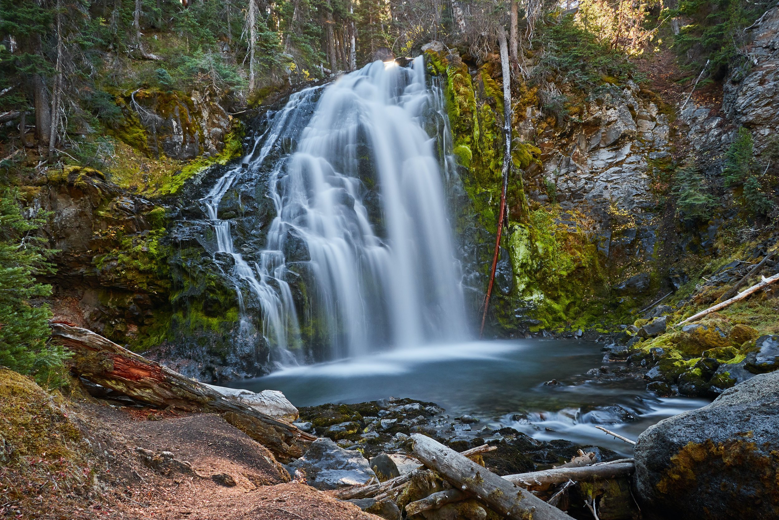




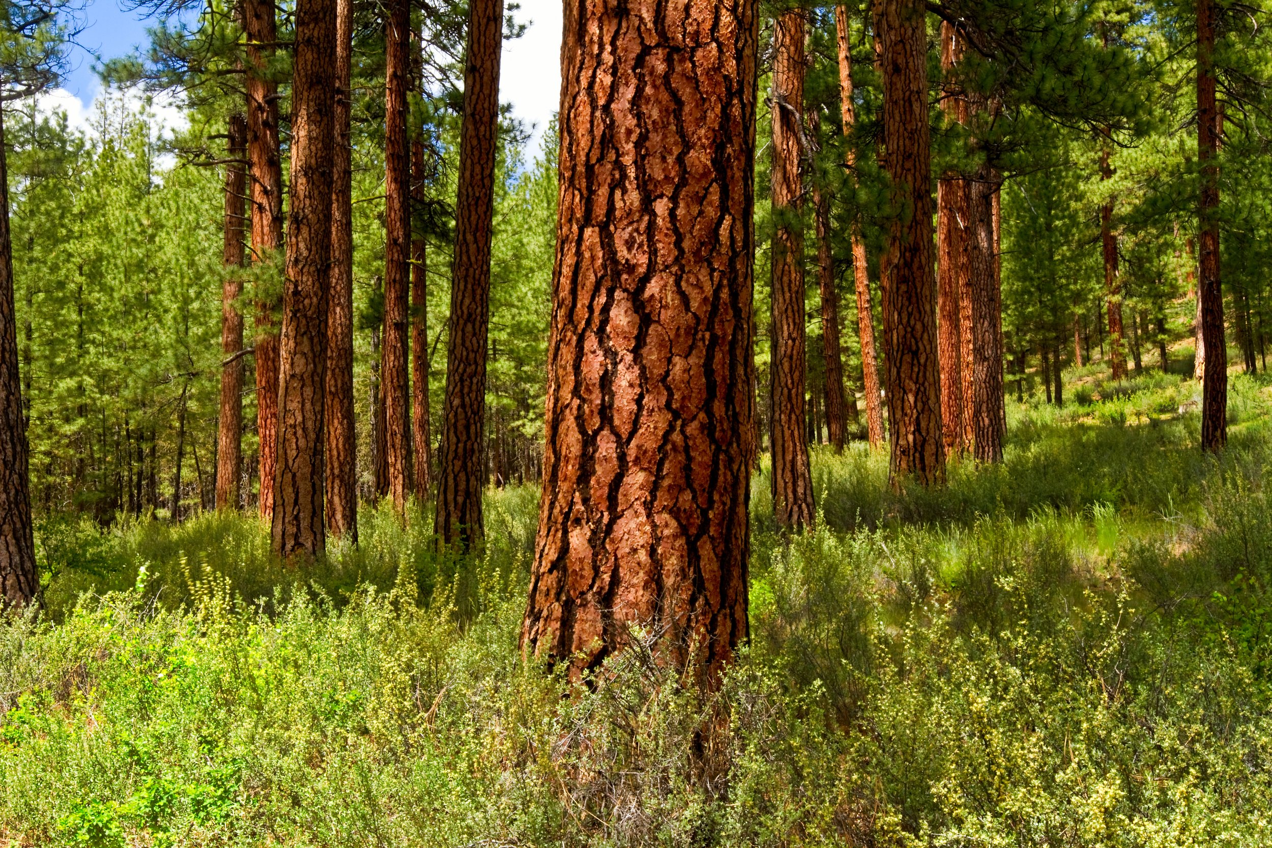


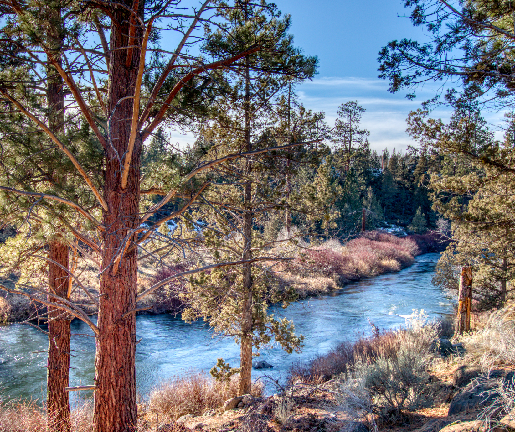


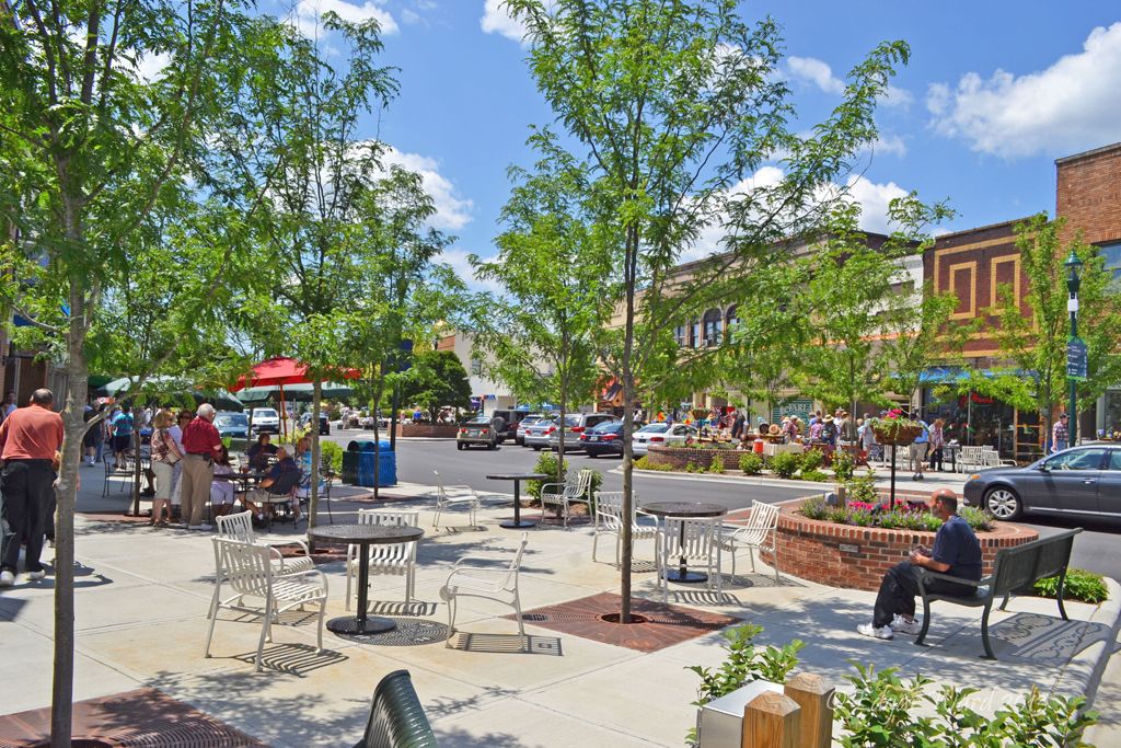


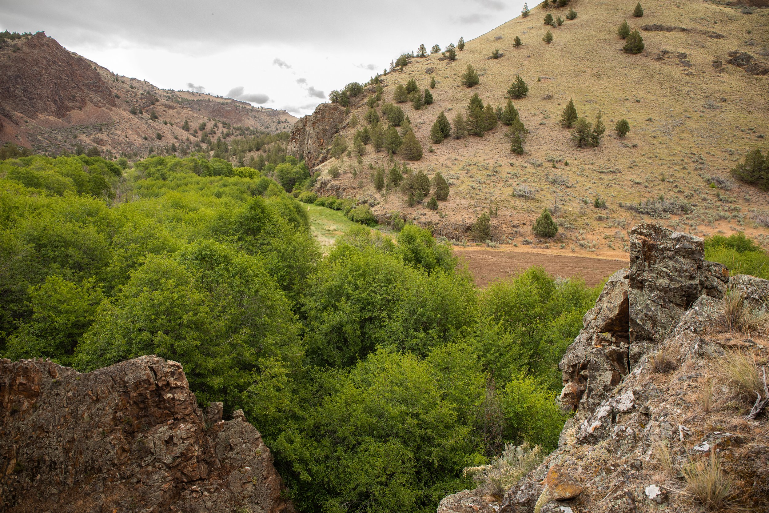


The recent sale of the Skyline Forest, the foothills of our Three Sisters Mountains, might mean its new owners will partition and develop the area.